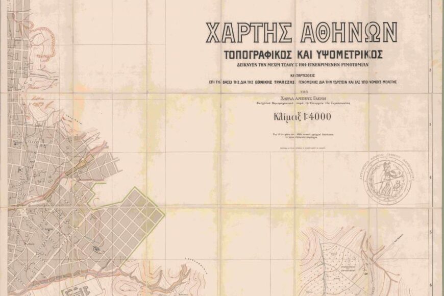
Compiled by Charalambos Glenis
Please, hover over the image to reveal its Plan Reference Number
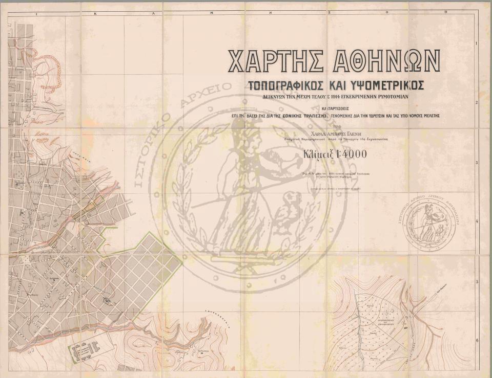
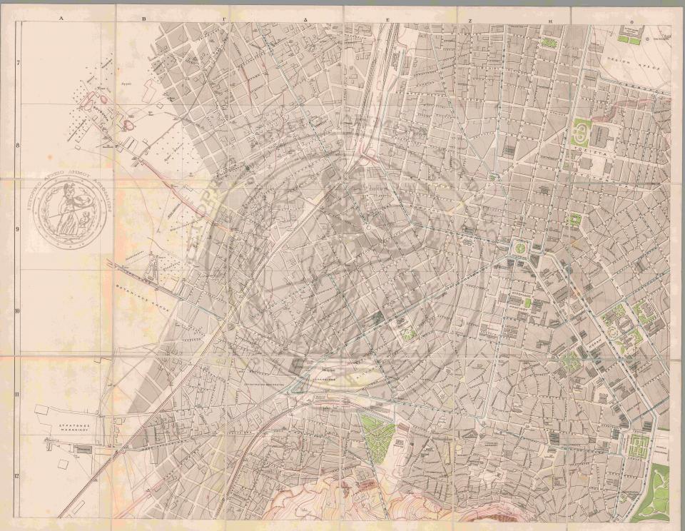
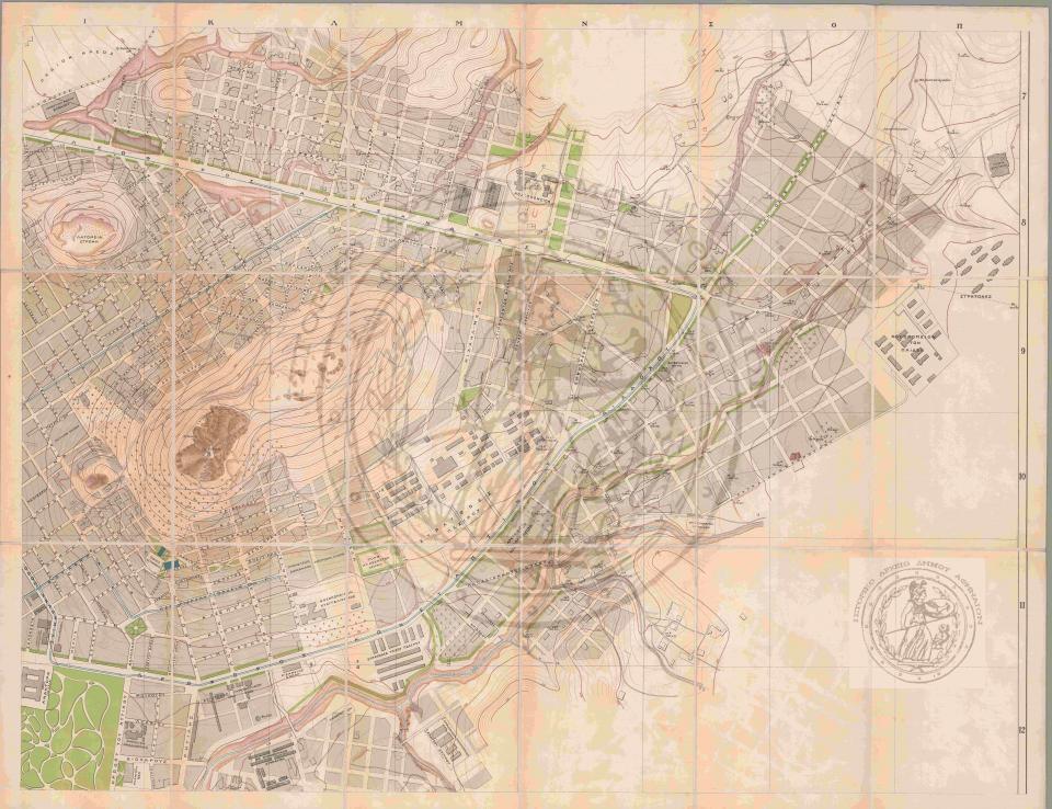
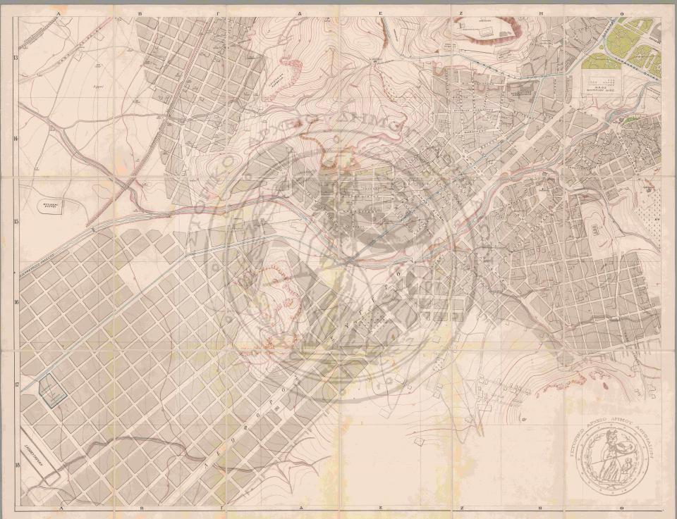
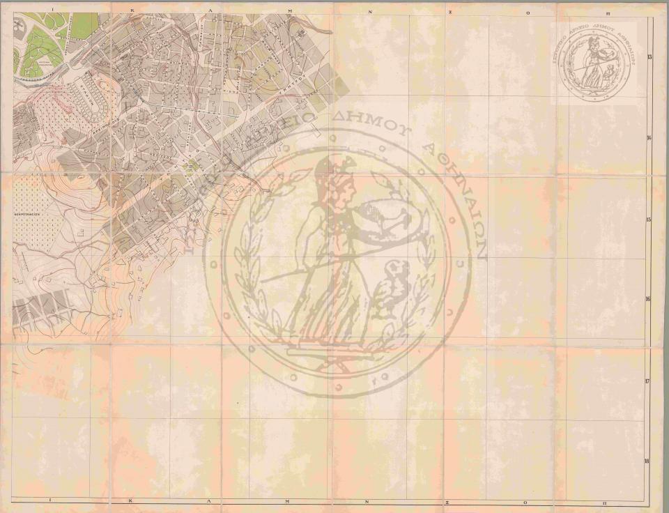
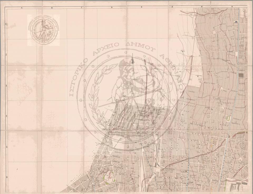
Plan No. [X]. Map of Athens, Topographical and Hypsometric, showing the approved street plan (urban layout) as of the end of 1914. Compiled by Charalambos Glenis, Advisory Civil Engineer at the Ministry of Transport, based on the water supply and sewage study conducted through the National Bank. Scale 1:4000. Printed at the V. Papachrysanthou lithography, Athens.
The map consists of the following six (6) plates: